To Census or Not to Census? Part One
By Dr Salomon Joubert
This article, which has been divided into two sections, was written by the late Dr Salomon Joubert in 2017. It is as pertinent today as it was then.
Introduction
Censusing of animal populations in medium to large conservation areas plays a crucial role in many of the important management decisions of such reserves. However, to achieve the desired results is a matter often embroiled in controversy. This revolves around the key concepts of accuracy and consistency (precision).
Accuracy implies the ability to achieve a census result that is a true reflection of the number of animals in a population. It is, however, generally and readily accepted that this is an impossible goal due to a plethora of factors, including environmental conditions, habitat preferences (including seasonal variables), social organisation structures and colour patterns that all impact on the visibility and countability of the various species involved.
Due to the problems involved in achieving accuracy, consistency provides an acceptable alternative. In this approach it is accepted that the levels of accuracy obtained for different animal species varies but that population trends may be achieved by standardising the margins of error. The basic approach nevertheless remains an attempt to achieve the highest possible level of accuracy.
Development of censusing in the Kruger National Park
Since the earliest times, as far back as the Sabie and Shingwedzi game reserves, attempts were made to determine animal population numbers. The Ludorf report of 1918 is a good example. Though the actual numbers may have been way off, it may nevertheless be accepted that they reflected the relative abundances of the various populations.
The first attempt at a more systematic approach towards censusing was in the mid-1950’s when a road-strip count between Pretoruiskop and Pafuri was undertaken.
It did not yield a satisfactory result and the fledgling research division at Skukuza demarcated three routes per ranger section which the ranger had to drive each month, as opportunities allowed amidst other responsibilities, and record all animals encountered. At the same time monthly returns had to be submitted of all the larger carnivores.
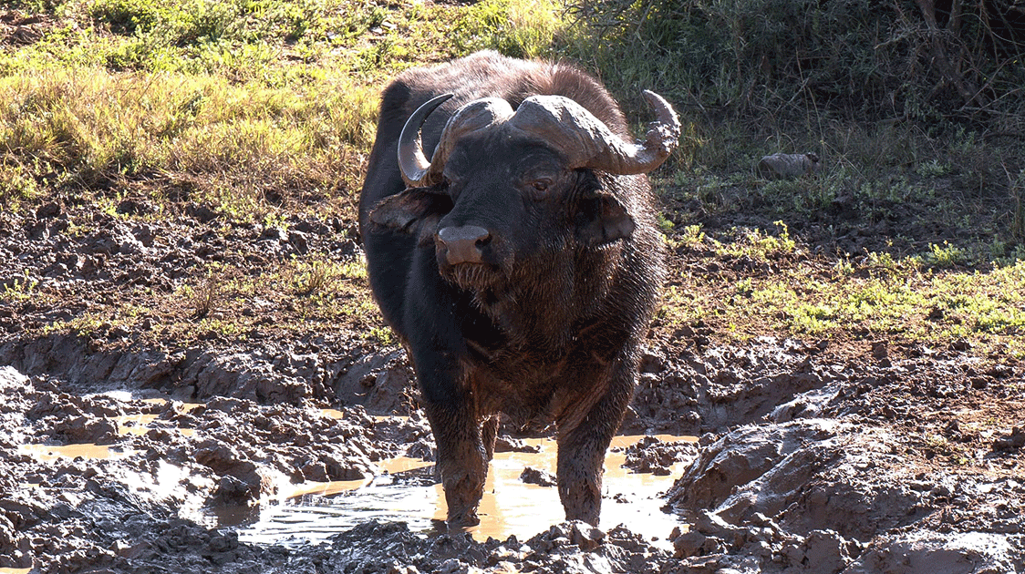
During the early 1960s, the Department of Agriculture undertook aerial surveys with light fixed-wing aircraft to locate breeding colonies of Red-billed queleas in the Park due to the threat they posed to agriculture. The research staff availed themselves of the opportunity to accompany the “quelea surveys” and, at the same time, count elephants and buffalo.
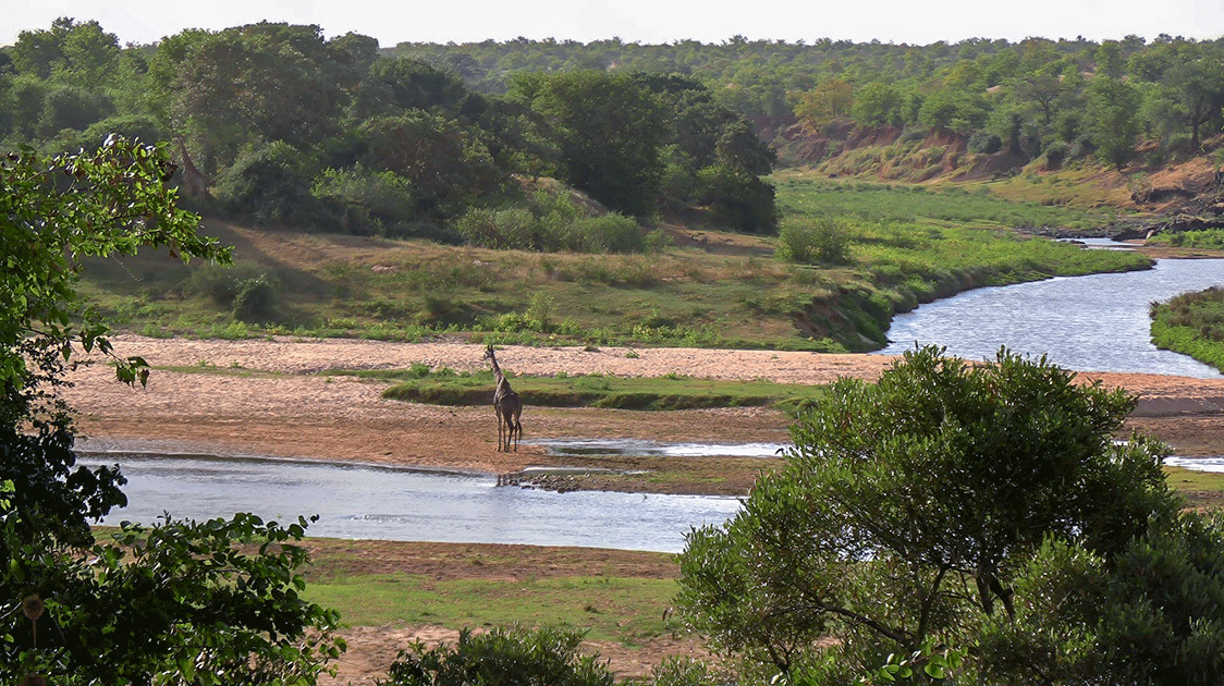
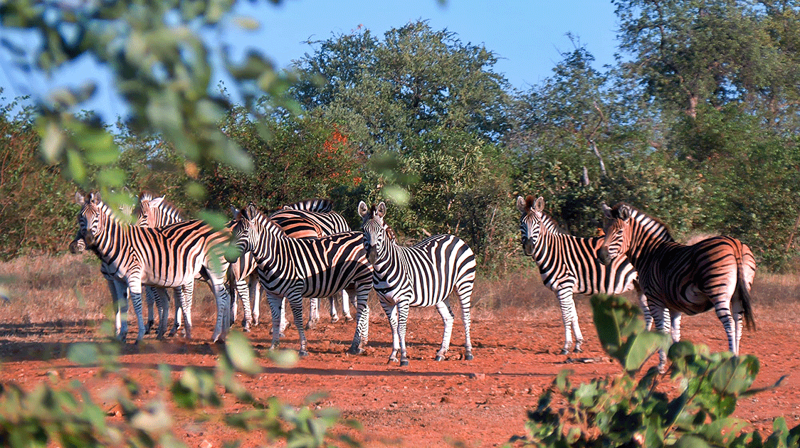
The initial introduction to aerial counts soon led to the first three-seater Bell 47 helicopter census (1965). In the early 1970s, the Bell was replaced with a more spacious and effective Jet Ranger. The helicopter census was primarily intended for elephants and buffalo but also included several other large herbivores, including the high-density wildebeest and zebra populations of the Central District.
From its inception, the elephant and buffalo census was conducted along the perennial waterways at the end of the dry season. Dr Tol Pienaar initiated this, which has yielded a series of monitoring data with particularly high levels of accuracy and consistency (precision).
In the early 1970s, a series of “differential ground counts” were undertaken. These entailed five routes per ranger section traversed on five consecutive days by five different teams of observers during the dry season. The purpose of these counts was to determine the relative contribution (percentage) of the various large herbivore populations.
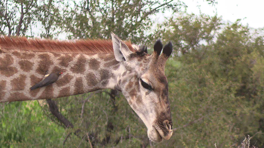
The goal was then to select different “key species” in different areas from which the numerical status of other species could be determined, i.e. if giraffe (for example) could be accurately counted in a particular area during the helicopter census where it comprised 8% of all species what then would the totals for the other species be.
The differential counts' results did not satisfy the primary objective (i.e., to determine accurate population estimates), though they may still be valuable in comparing the relative compositions of the larger herbivores at that time to the current situation.
During the latter half of the 1970’s the Ecological Aerial Surveys (EAS) were initiated. These surveys were undertaken by a six-seater fixed-wing Cessna 206 aircraft during the dry season. Strips, 400 m broad, were flown to cover ecologically homogeneous areas and systematically including almost the entire KNP. These surveys introduced the first steps towards a Geographic Information System and entailed the following:
- The dry season was considered the ecologically most stable time of the year;
- Visibility was optimal, and water resources were restricted;
- The objective was to attempt total counts of all the large herbivores;
- It was accepted that absolute accuracy was not possible but that all possible measures were taken to ensure consistency and standardisation of margins of error, e.g. same time of the year, same weather conditions and at least the core of the team of six consisting of competent and experienced observers.
- To assist with the interpretation of data environmental variables, e.g. surface water resources, phenological aspects of the field layer and woody vegetation were recorded.
In spite of the above measures, it was also accepted that management decisions should preferably be taken on a series of data instead of differences between the results of two consecutive years. Monitoring was therefore the important issue, in the understanding that the larger the data set over time, and the maintenance of the frequency of repetitions, the more reliable it becomes.
The EAS were undertaken annually, in addition to the elephant and buffalo census. The primary objective of the EAS was to underpin the adoption of a holistic ecosystem approach towards research and management of the KNP. This could be achieved by interpreting the role and responses of animal populations to environmental constants (geomorphology, soils, vegetation communities, etc.) and the variables referred to above, i.e. on the basis of the principles of a GIS.
During the late 1990s or possibly early 2000s, the EAS was discontinued and replaced by a 6% sample count (known as Aerial Line Transects or ALTs) from which population totals could be statistically derived.
Apart from any other possible reasons, the change was based on the notion that the erstwhile navigation by means of a compass and gyro-driven Direction Indicator instrument was not accurate enough, though GPS-aided navigation was introduced during the latter half of the 1980s. There was no apparent distinction between the results prior to and subsequent to the use of GPS.
The coverage of the ALT counts was gradually increased to 22%, but even these failed to give usable estimates of the respective herbivore populations.
The author does not know whether the sample-line counts are still used or whether the population totals for the large variety of large herbivores are obtained by whatever other means.
Dr Salomon Joubert was the former director of the Kruger National Park in South Africa and spent 40 years in the service.